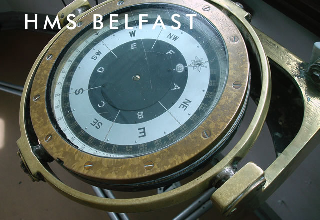
Ship's compass in HMS Belfast's compass platform
Map
The following map and information show the location of HMS Belfast in central London and nearby transport links, including tube connections, trains and buses.
HMS Belfast travel map
- National Rail London Bridge Station: First CapitalConnect, Southern and South Eastern services
- London Underground Tower Hill Underground Station: Circle & District Lines (north-side)
- London Underground London Bridge Underground Station: Jubilee & Northern Lines (south-side)
- London Buses Routes 343, 381, 47, RV1 to Hays Galleria (Tooley Street) stop
- Taxi Tooley Street
- River Boat Services Tower Millennium Pier (north-side)
- River Boat Services London Bridge Pier (south-side)
Virtual Tour
Select a deck to begin your Virtual Tour of HMS Belfast
Panoramas
Select a panorama to begin your Virtual Tour of HMS Belfast
- 'A' Shell Room, Hold Deck
- 'B' Shell Room, Hold Deck
- A-Turret, Superstructure
- Admiral's Bridge, Superstructure
- Arctic Mess Deck, Upper Deck
- Bakery, Upper Deck
- Bathroom, Lower Deck
- Butchers, Upper Deck
- Capstan Space, Upper Deck
- Common Machine Shop, Lower Deck
- Compass Platform, Superstructure
- Conversion Machinery Room, Platform Deck
- CPO Mess, Upper Deck
- Dentists, Upper Deck
- Engine Room, Hold Deck
- Forward Boiler Room, Hold Deck
- Forward Steering Position, Platform Deck
- Galley, Upper Deck
- Kitchen, Upper Deck
- Laundry, Upper Deck
- Mail Room, Upper Deck
- Operations Room, Superstructure
- Provisions Issue Room, Upper Deck
- Sick Bay, Upper Deck
- Washrooms, Lower Deck
- Y-Turret, Superstructure